 01
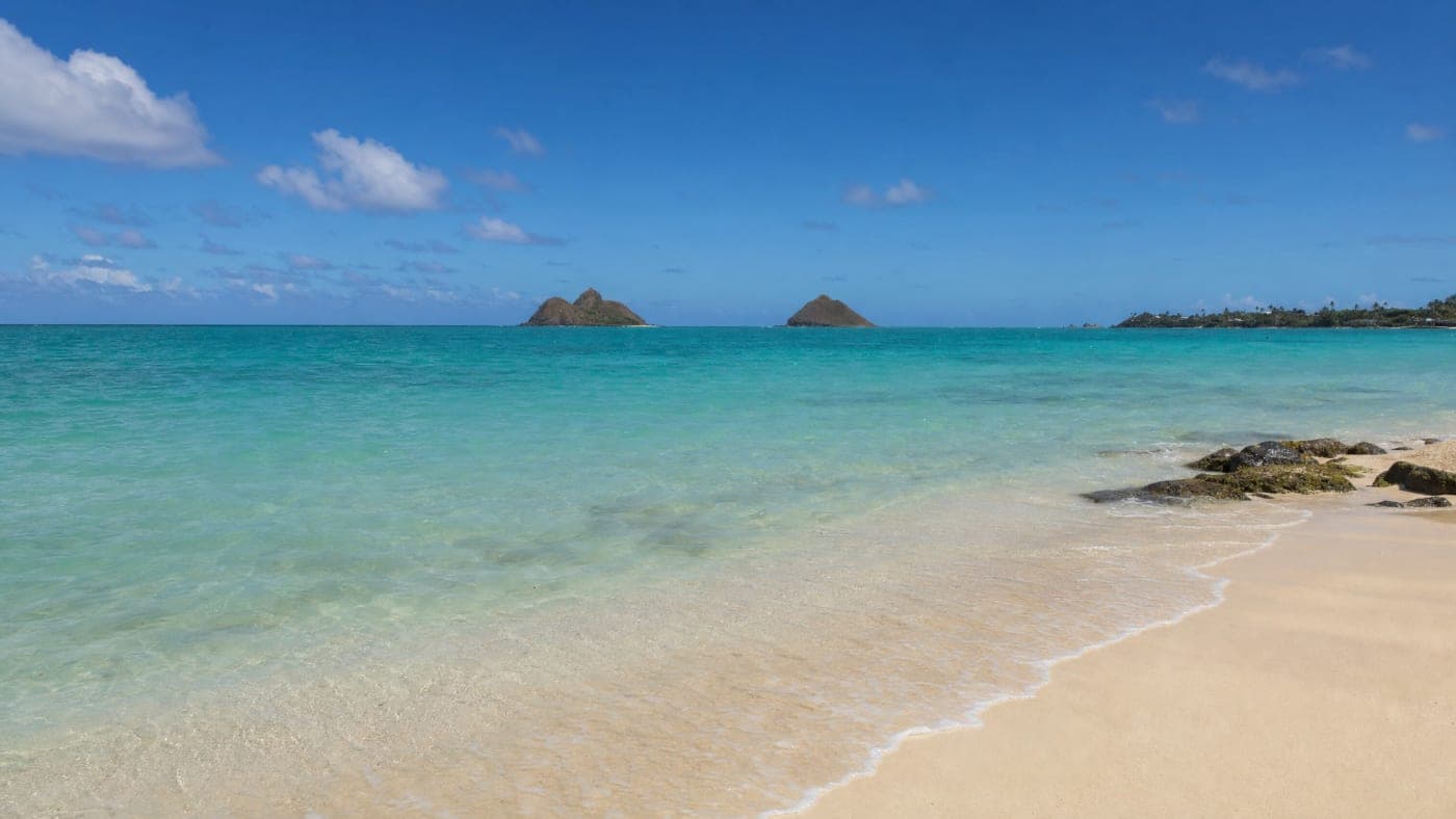
01Beaches
Access, swimming, shore notes
 Aloha OʻahuIsland intelligence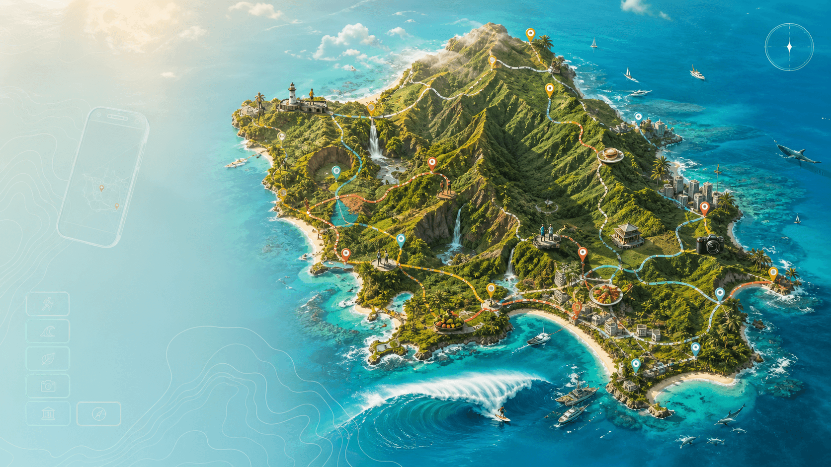
Oʻahu Activity Atlas · Lifetime access
Explore 497 verified places through one beautiful living map. Ask naturally, open visual Guides, understand the place, and turn discoveries into a day you can actually follow.
Ask Aloha“A waterfall and lunch nearby”
→Choose the feeling, not a filter.
01Access, swimming, shore notes
 02
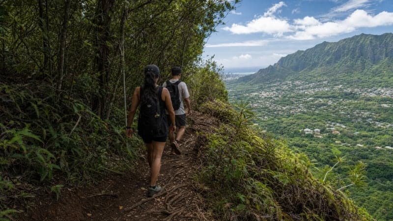
02Terrain, field notes, viewpoints
 03
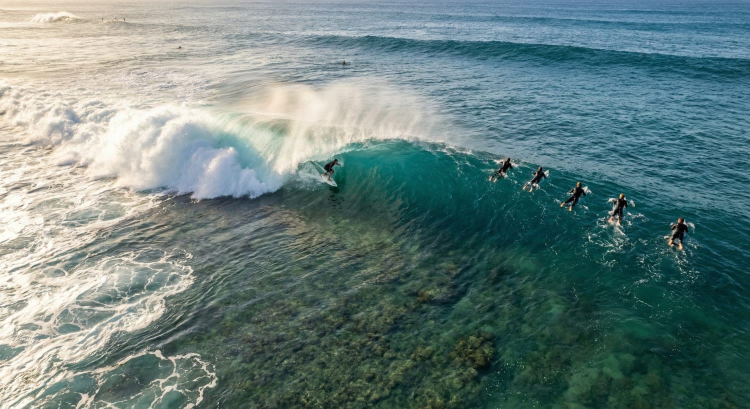
03Breaks and coastal context
 04
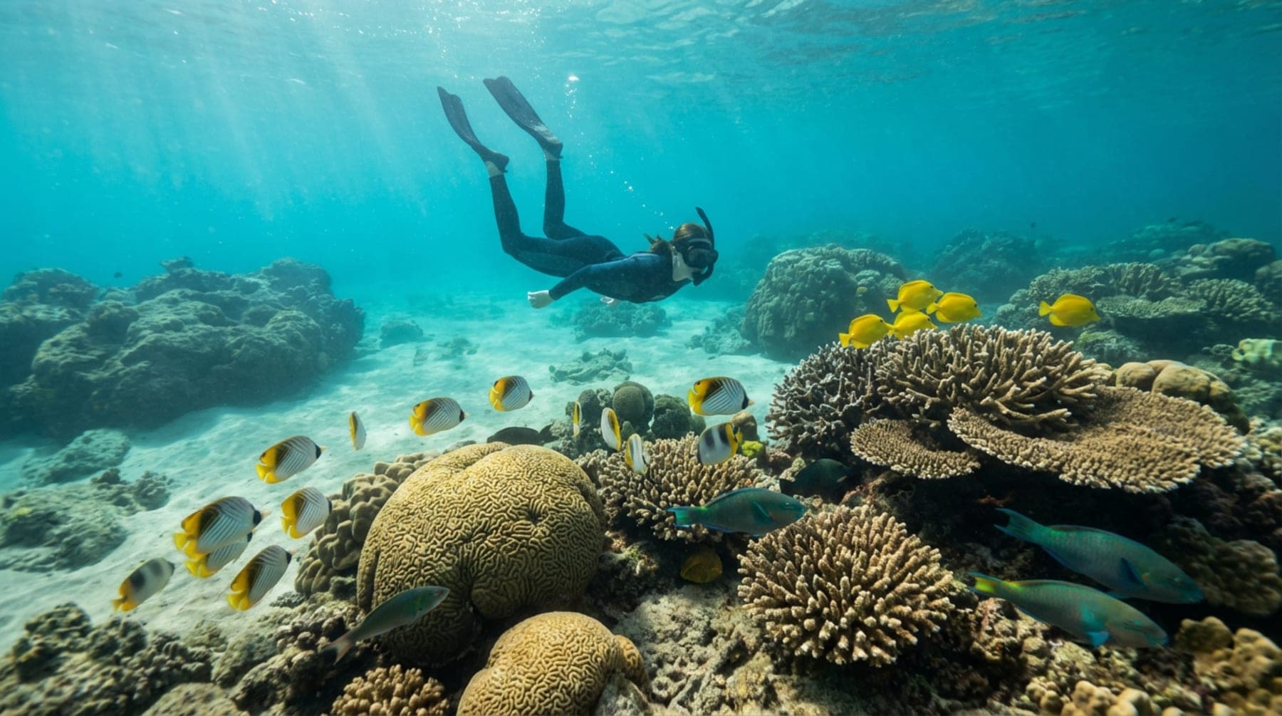
04Reefs, habitat, water context
 05
05Local dining and nearby finds
 06
06Landmarks and botanical worlds
 07
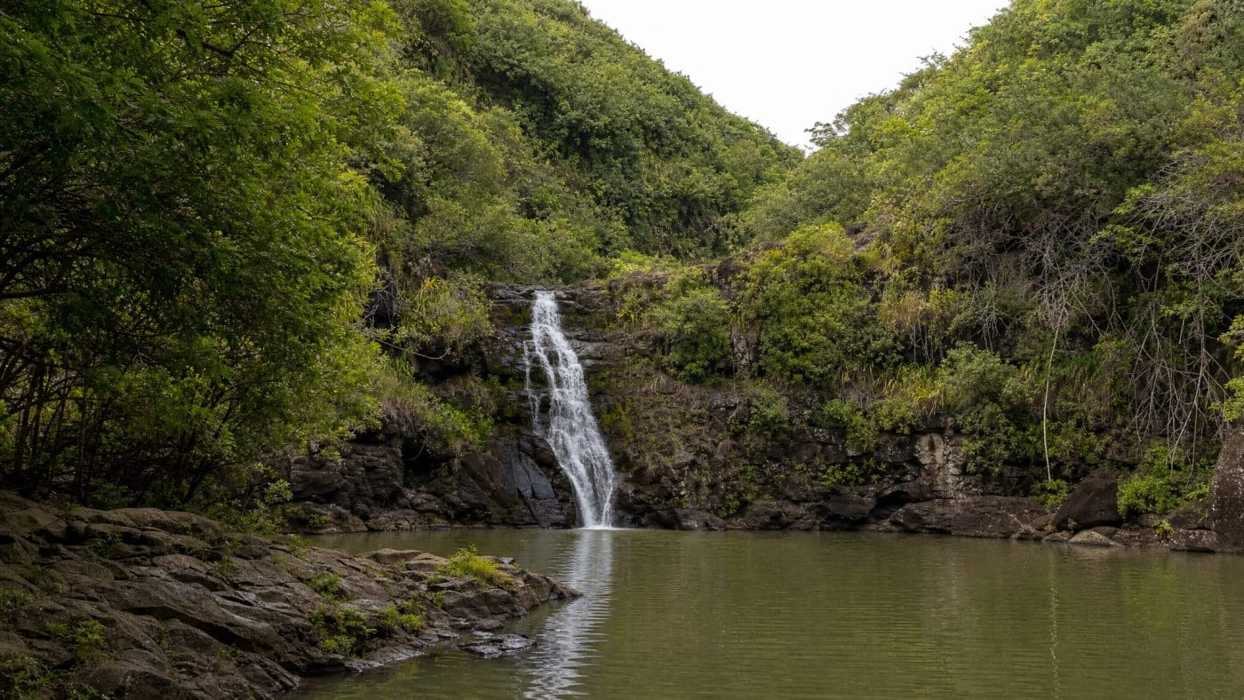
07Iconic places with deeper stories
 08
08The places between the landmarks
Aloha AI Power Search
Search the way you think. Ask for a calm beach near lunch, a waterfall before sunset, something cultural for the family, or the best next stop from where you are.
Ask naturallyNo category hunting or exact place name required.
See the answer on the islandResults stay connected to the live Atlas.
Open the whole placeGuide, gallery, current context, directions, and nearby ideas.
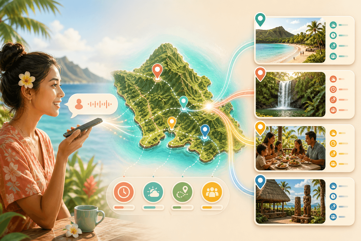
Somewhere beautiful, easy, and close to great food.
Beach first. Local lunch after. Add both to My Trip?
A map with a point of view
Real photography and editorial Guides replace anonymous map listings. See the atmosphere, read the field notes, understand why the place matters, and know what belongs around it.
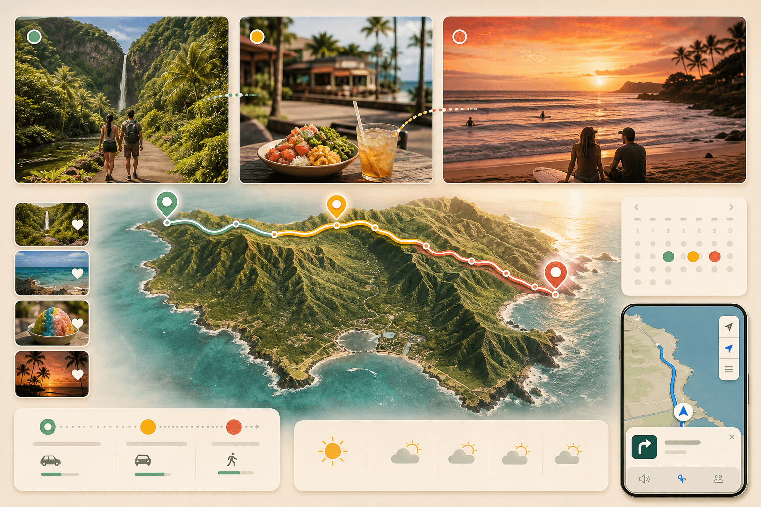
From discovery to a real day
The Atlas does not end at discovery. Move places into My Trip, arrange a custom multi-stop route, open Apple directions, and keep changing the plan without starting over.
The complete Atlas technology
Every layer has a practical job: help you find the right place, understand it, keep it, plan around it, and reach it without losing the context that made it worth choosing.
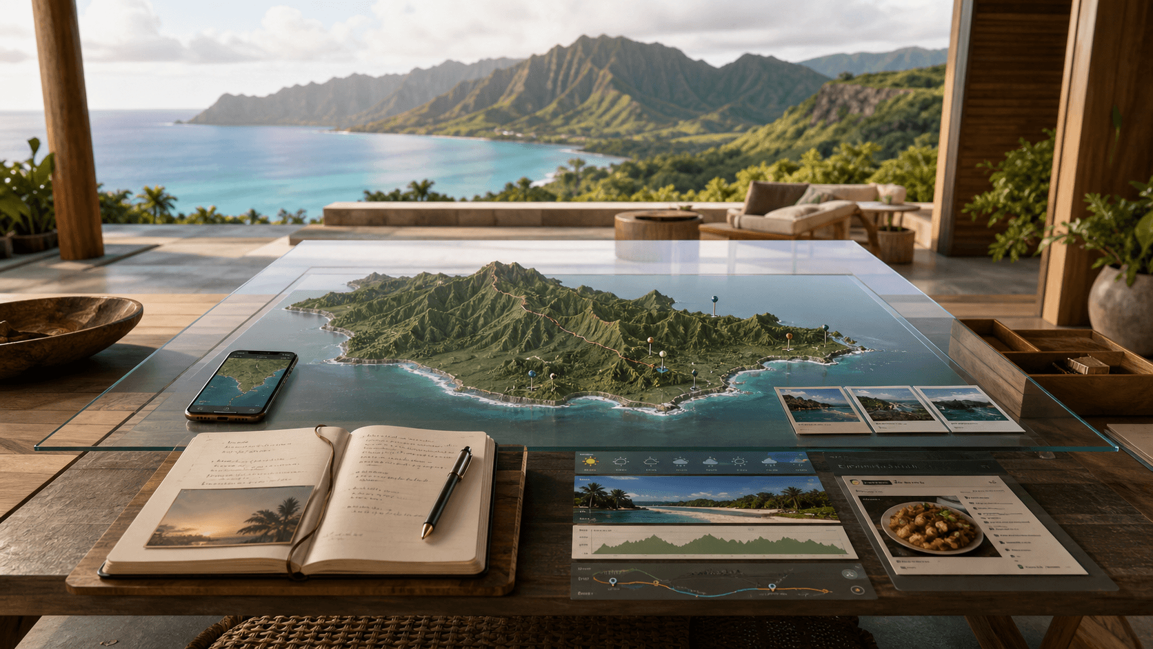
Describe the food, place, activity, mood, timing, or distance you want. The Atlas turns natural language into useful island results tied to your location and day.
Natural languageExplore beaches, trails, surf breaks, snorkel reefs, waterfalls, lookouts, gardens, historic places, dining, hotels, and attractions across Oʻahu.
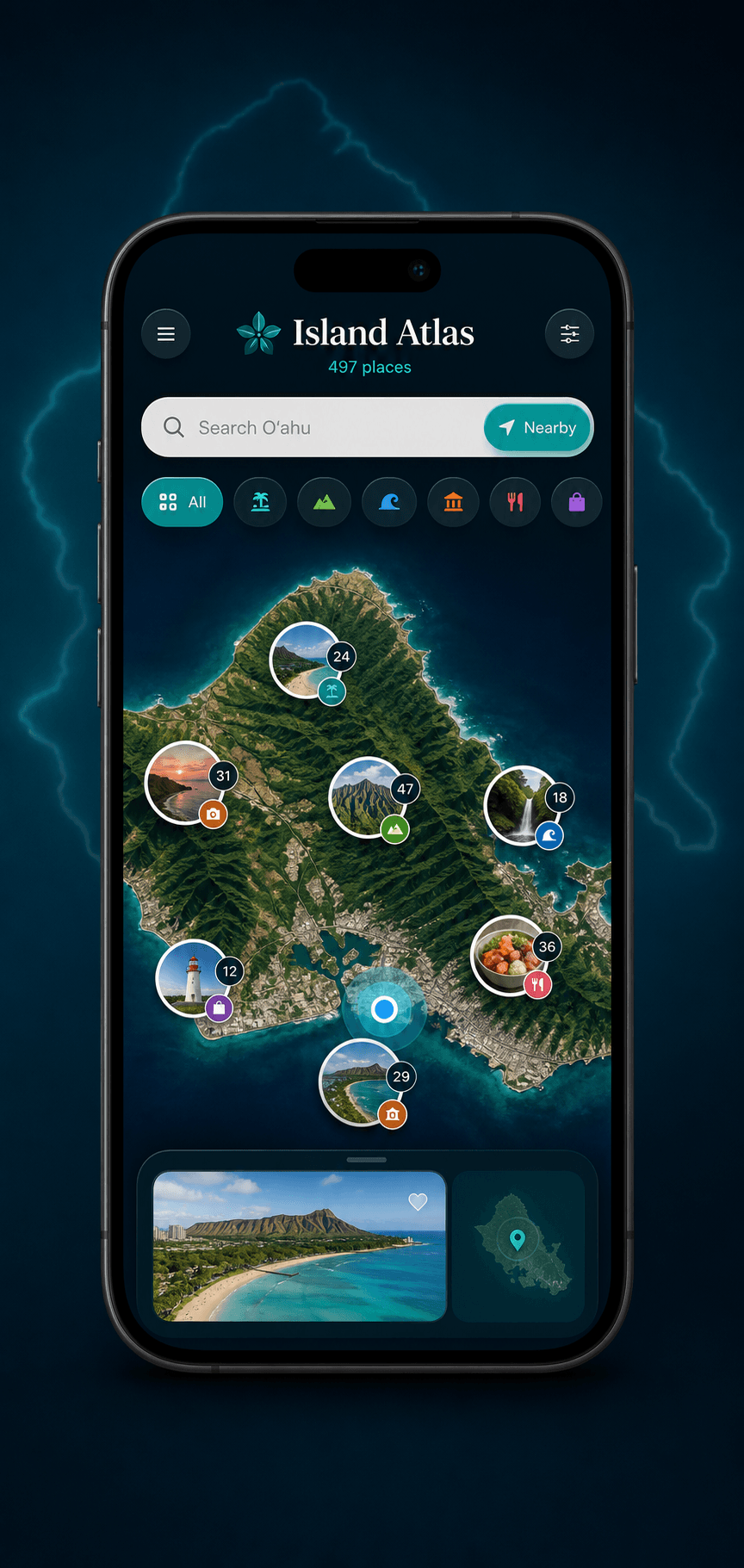
497 placesSmart clusters reorganize as you move from the full island into a coast, town, neighborhood, and individual destination without turning the map into a wall of pins.
Live clustersSwitch instantly between beaches, trails, surf, reefs, food, attractions, culture, and scenic places while staying anchored to the same island map.
8 categoriesOpen a destination into an editorial story with real photography, cinematic galleries, field notes, nearby context, and the details that make the stop meaningful.
Visual GuidesCheck current conditions around a destination before committing the time, drive, hike, beach visit, or outdoor part of your day.
Current contextPreview the surroundings from the place experience, understand the arrival, and move from discovery into a more confident real-world visit.
Street previewMove from any place card into Apple navigation without copying an address or rebuilding the destination in another search.
Ready to navigateCollect the places that fit your vacation so a great find does not disappear when you continue exploring the island.
Your shortlistSend places into an editable trip day, organize what happens next, and keep recommendations connected to the vacation you are already building.
Connected planningArrange several Atlas discoveries into one route, change the order, and keep the day flexible when your timing or priorities change.
Editable routesConnect eligible active time to Apple Health so the walking and movement inside your Oʻahu day can remain part of your fitness story.
Fitness connectedInside the real application
These are not decorative mockups. They are the product surfaces that move a traveler from full-island discovery into Guides, galleries, saved places, and a day that is ready to follow.
Start with Oʻahu as one connected system. Smart clusters show where discovery is concentrated, while every saved idea and experience stays attached to the island in front of you.
Browse curated stories instead of anonymous listings. Trails, beaches, reefs, surf, food, attractions, and culture open with photography, editorial context, and practical field notes.
Use full visual galleries to understand the atmosphere, landscape, and character of a destination before deciding whether it belongs in your day.
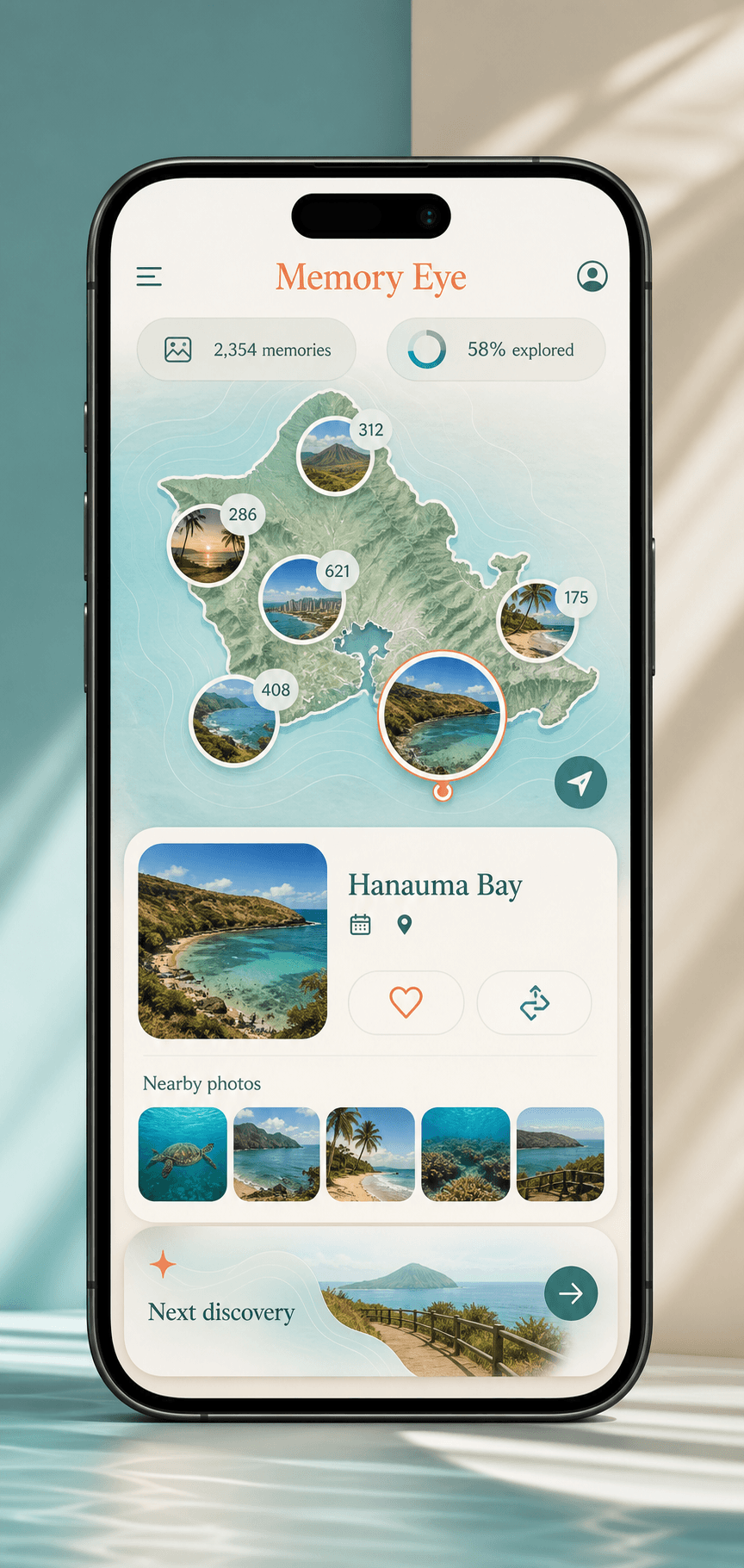
Save the right places, move them into an editable plan, arrange a route, and keep the whole trip connected instead of rebuilding it across notes, browser tabs, and separate map searches.
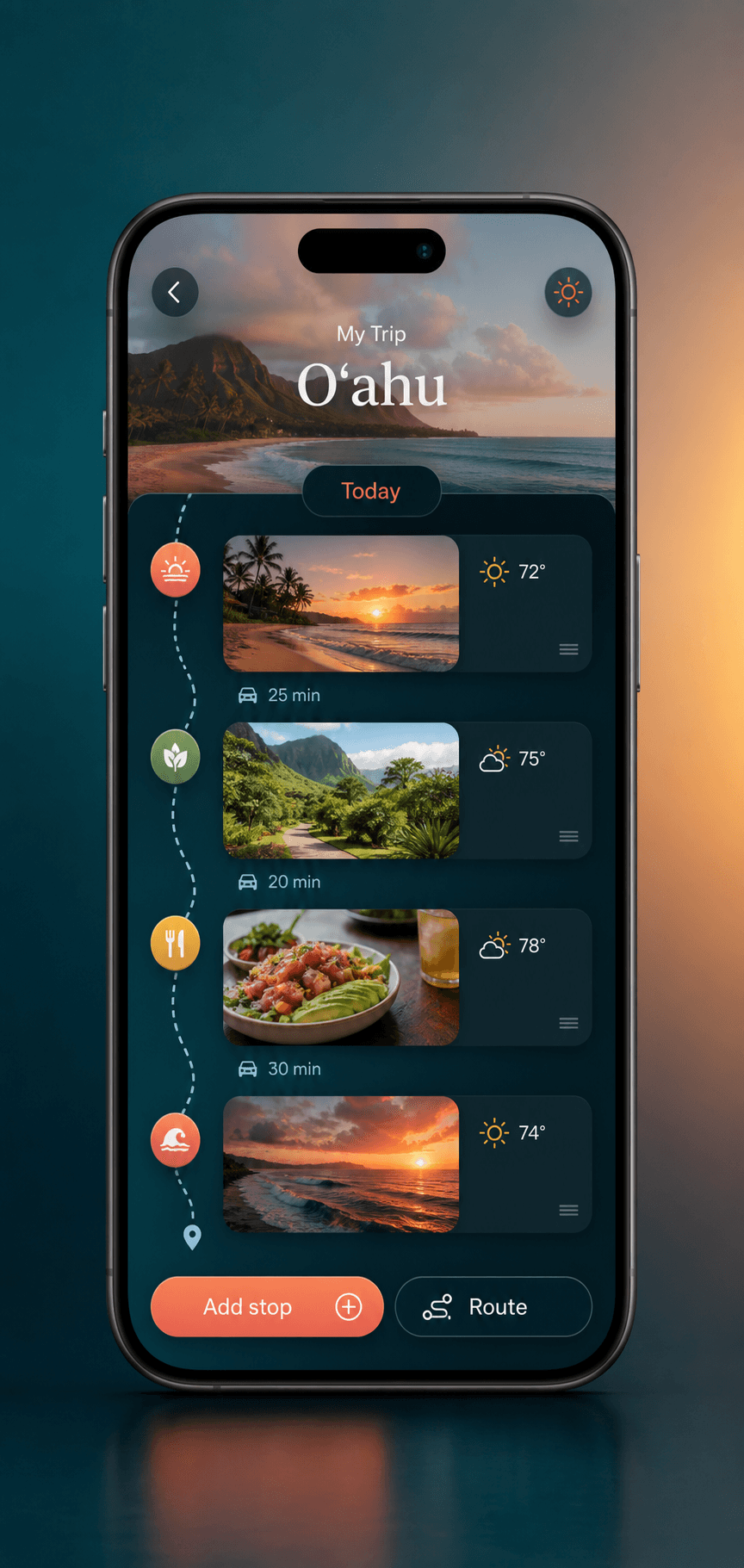
One request. A day you can use.
A real Oʻahu day crosses categories. The Atlas keeps the waterfall, lunch, coastline, current context, route, and plan in one connected flow.
“A waterfall, local lunch, and an easy sunset stop.”
See visual results in the part of Oʻahu that fits your day.
Open Guides, galleries, field notes, weather, and nearby context.
Keep Waimea Valley, Haleʻiwa, and the coast in one shortlist.
Build an editable multi-stop route and send it into My Trip.
Open Apple directions and keep the next place ready.
Everything inside
The complete discovery system for travelers who want more than a plain map and less time hunting through disconnected apps, tabs, articles, and saved links.
One clear inventory of the discovery, planning, navigation, and island-context features included with lifetime access.
A complete place layer across beaches, trails, surf, reefs, waterfalls, gardens, lookouts, dining, hotels, attractions, and historic Oʻahu—not a thin preview list.
Move through beaches, hikes, surf, snorkel reefs, food and towns, gardens and attractions, history and culture, and scenic Oʻahu.
Photo-rich place cards, editorial Guides, cinematic galleries, field notes, and nearby ideas give every destination useful depth.
Search food, attractions, activities, moods, timing, distance, and location-aware recommendations in your own words.
Keep hundreds of destinations readable from a full-island view down to an exact stop.
Use current place context and Look Around previews before choosing where the day goes next.
Keep discoveries connected and move the right places directly into an editable vacation plan.
Arrange several destinations into one day, change their order, and open Apple directions when it is time to go.
Connect eligible active time so exploration can remain part of your health and fitness record.
Keep the Atlas useful when connectivity changes and receive future place updates without rebuilding your island guide.
Built for the way you travel
See the full shape of Oʻahu without reducing the island to a generic top-ten list.
Find the beaches, neighborhoods, trails, food, and cultural places that did not fit the last trip.
Connect outdoor discovery, routes, directions, weather context, and eligible Apple Health activity.
Compare different kinds of places, save the right mix, and keep an editable day everyone can follow.
Seven experiences · One connected island
Choose the complete map or open a dedicated GPS drive, movie journey, hiking system, surf guide, or reef intelligence experience.
 01
01Beaches, ridges, reefs, waterfalls, lookouts, dining, and stays on one hybrid island map — with cinematic place cards, smart filters, Guides magazine, custom routes, and lifetime updates.
You are here → 02
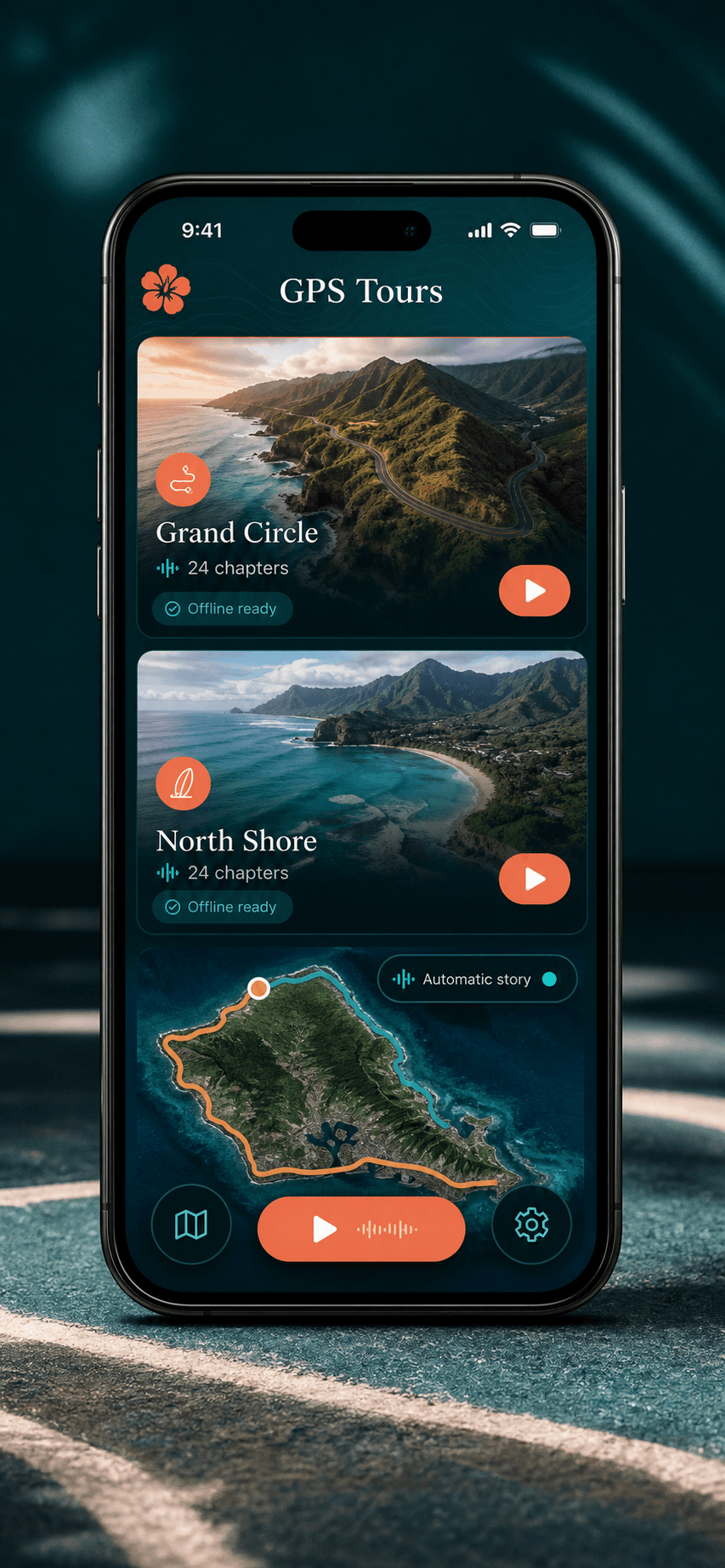
02A full-day Oʻahu journey with automatic GPS storytelling, cinematic music, local history, family trivia, and 14 chapters timed to the road.
Open experience → 03
03GPS narration, cinematic score, and shoreline stops from Pipeline to Haleʻiwa.
Open experience →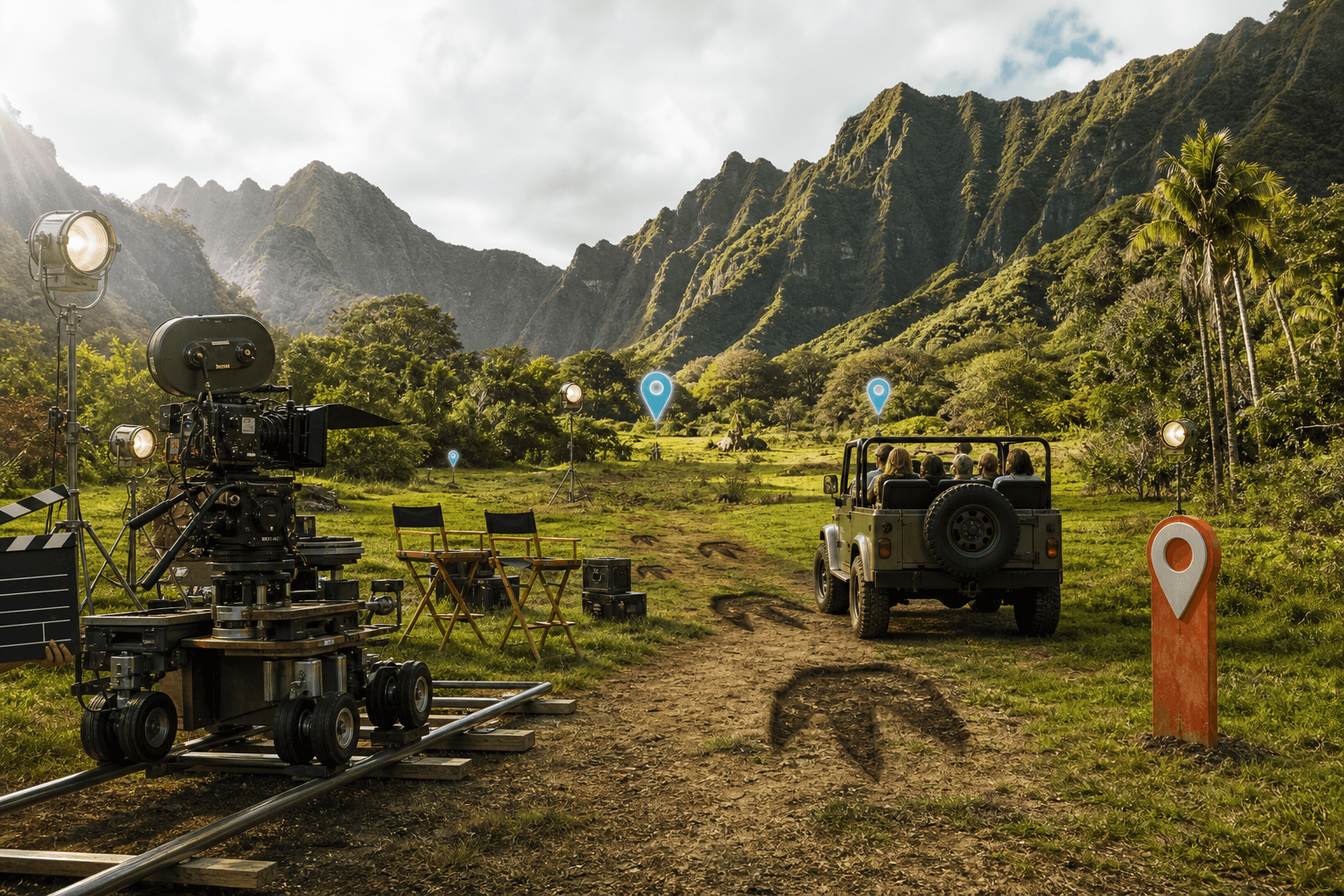 04
04Filming pins, trailers, trivia, and cast galleries across Oʻahu’s most famous movie sites.
Open experience →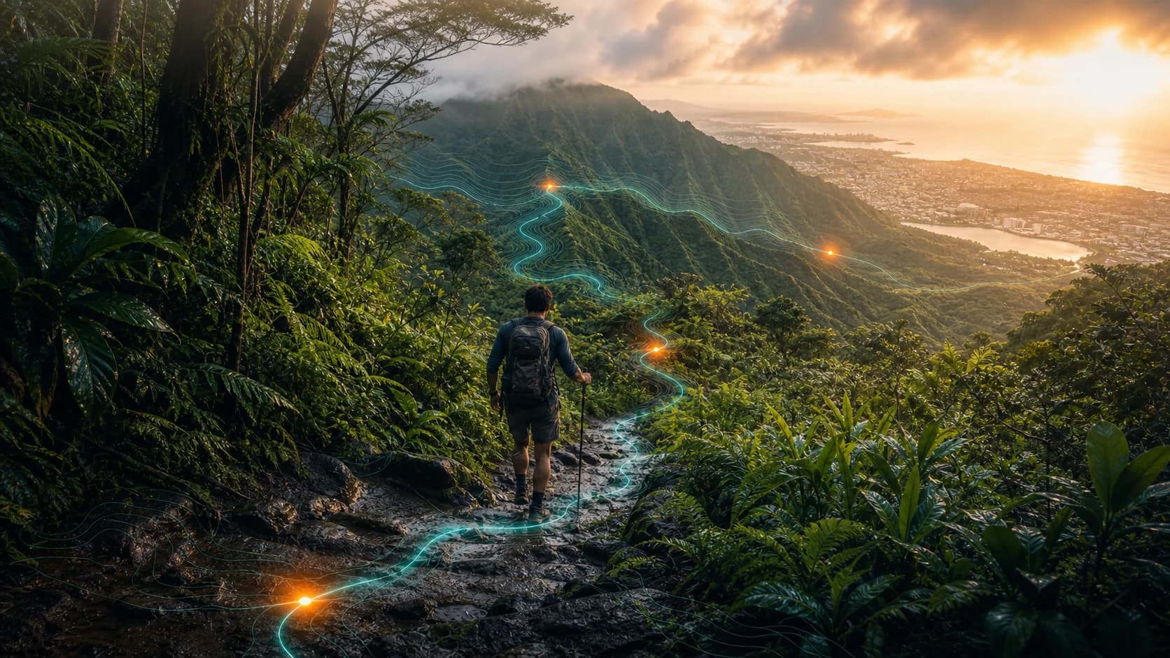 05
05Cinematic briefings, 3D flyovers, weather timing, and start-hike tools for curated Oʻahu trails.
Open experience →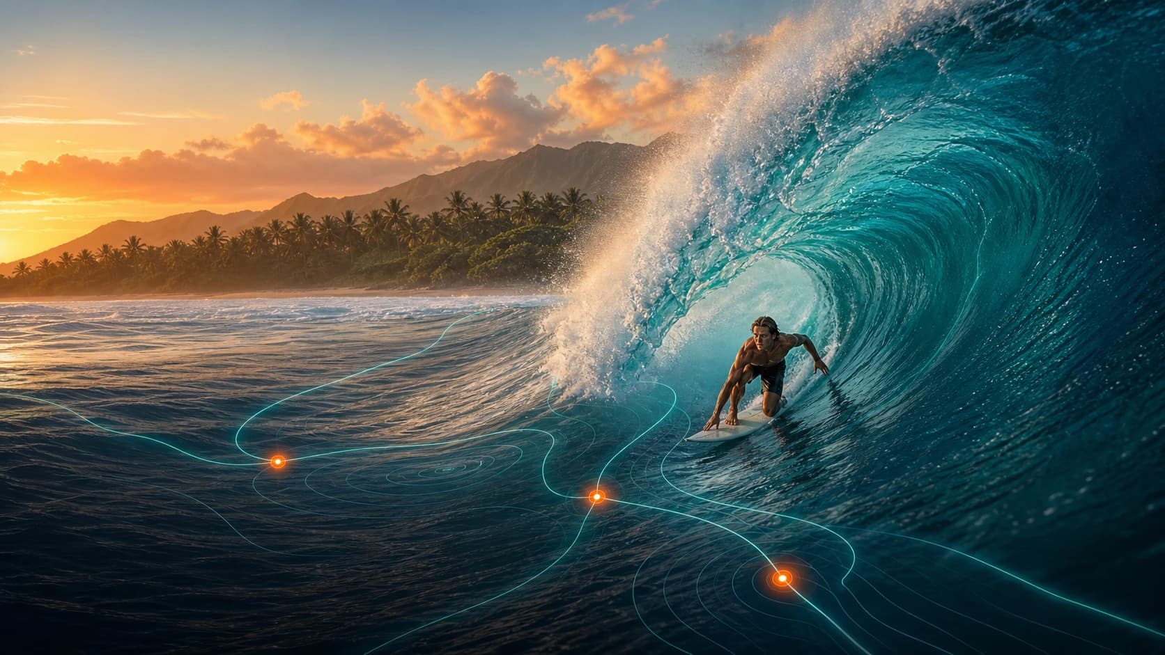 06
06Live wave reports, swell analytics, hazard context, and spot briefings for curated Oʻahu breaks.
Open experience →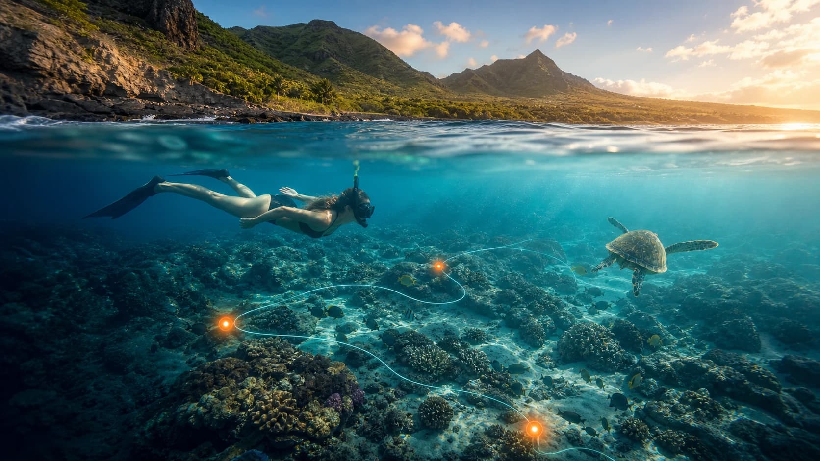 07
07Hanauma, Shark's Cove, Electric Beach, and 32 more — live outlooks, Habitat Lens wildlife, readiness scoring, and reef cards on every stop.
Open experience →Oʻahu Activity Atlas